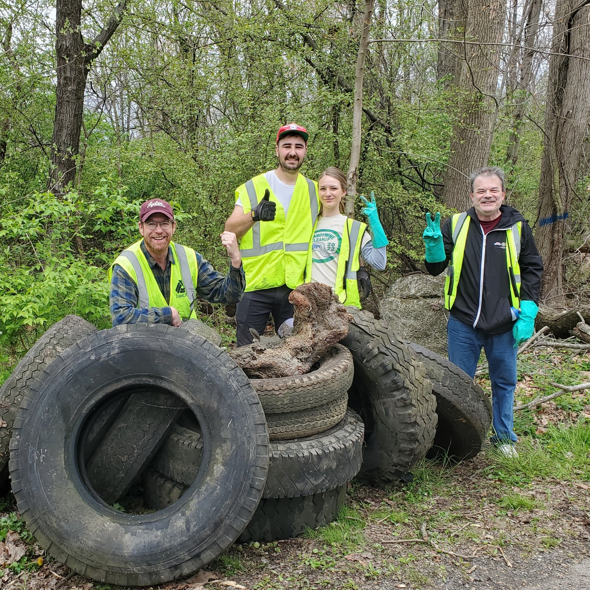
Brandywine Clean Up, Saturday, April 20
Join us for the annual Brandywine Clean Up in Southeastern Pa and Northern DD. For more information, please visit our events page.
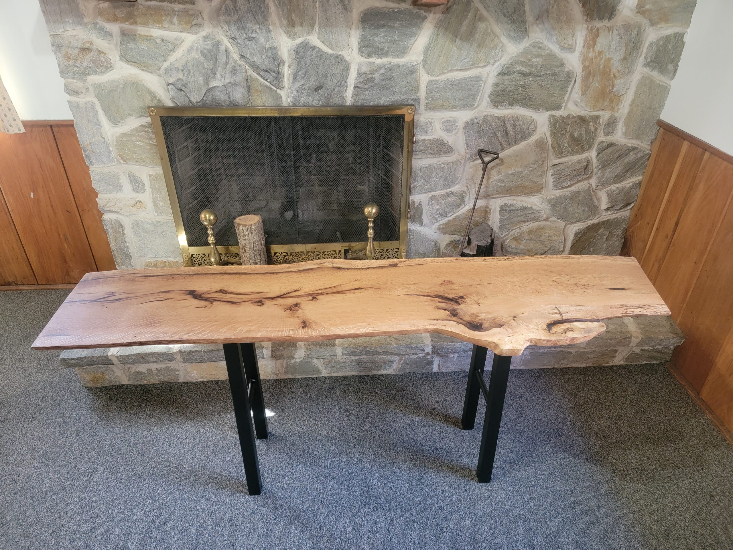
William Penn Oak Table Raffle
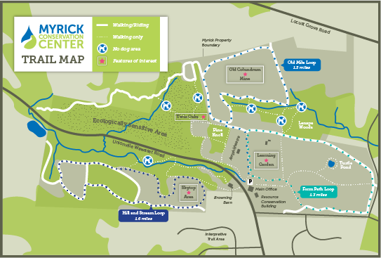
On July 7, 2016 the 424 year old Penn Charter Oak at the Myrick Conservation Center fell in a storm. BRC was able to salvage the wood from this historic tree, and now you have a chance to own a piece of it. Handcrafted by BRC Board Member Ed Camelli in order to raise funds for BRC, raffles for this table can be purchased for $20 each online or by stopping in at the Myrick Conservation Center. The drawing will be held on April 25 at Trail Creek Outfitters.
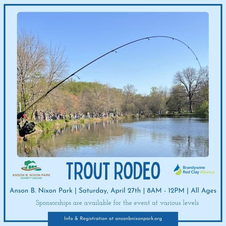
Annual Trout Rodeo
The Anson B. Nixon Park Annual Trout Rodeo will be held Saturday, April 27th from 8 a.m.-12 p.m. For more information and tickets, please click here.